-and-
The dry conditions which became prevalent across the state in early December have continued to characterize the entire winter season through February, resulting in statewide cumulative precipitation as a percent of median dropping to 68% of the reference period normal on March 1.
Source: U.S. Department of Agriculture
By Jaz Ammon, Water Supply Specialist (Hydrologic Technician)
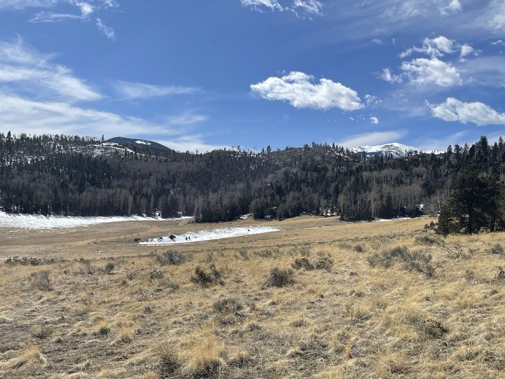
Photo: Courtesy [Caption: Minimal snowpack in the vicinity of the Hematite Park Manual Snow Course in the Sangre de Cristo Mountains on February 26th, 2025. The survey recorded 0.5 inches of Snow Water Equivalent [SWE] at this location, representing just 10 percent of the reference period median. NRCS Photo: Jaz Ammon]
Summary
“March 1 snowpack conditions have not made notable gains throughout New Mexico’s forecast basins since the previous month, with persistent dry conditions dominating the winter season as the typical accumulation period comes to an end. Accumulated Snow Water Equivalent has remained at or below the record lows in many locations, leaving statewide aggregated totals in the lowest 5th percentile when ranked against prior years throughout the NRCS period of record. Such poor winter snow coverage has left this statewide Snow Water Equivalent totals at a mere 49% of the reference period normal conditions for this time of year, or less than half of the median value as of March 1. Many monitoring sites retained no observable snow as of the latest measurement cycle at the end of February, which coincides with the lowest measurements on record at these locations, as the measurement of snow water has an absolute minimum of zero at any point on the landscape. A relatively smaller departure below normal Snow Water Equivalent characterized the northernmost Rio Grande Headwaters which feed New Mexico’s mainstem Rio Grande from Southern Colorado, although Snow Water Equivalent gains in this basin remained small in magnitude throughout February. These dismal winter hydrometeorological conditions continue to point toward the possibility of a statewide record low snowpack for the remainder of New Mexico’s 2025 winter season, particularly if widespread melt initiates earlier than the normal peak date in the most statistically dominant snowpack monitoring regions.

The dry conditions which became prevalent across the state in early December have continued to characterize the entire winter season through February, resulting in statewide cumulative precipitation as a percent of median dropping to 68% of the reference period normal on March 1. As the winter has progressed, the wetter than normal early water year has been overshadowed by a persistent lack of winter storm inputs. The lack of snow water inputs continuing throughout February has decreased cumulative precipitation as a percent of normal and further highlighted the difference between the current water year and that of a more robust prior years throughout the monitoring record. Total precipitation accounts for both rain and snow accumulation measured across the NRCS monitoring network. Therefore, rainfall early in the water year during the fall season or rain occurring during warm cycles while snow persists on the landscape will interact with spring runoff volumes much differently than the accumulated water sitting on the ground surface as frozen snow available for melt. Dry late winter conditions this year leave little new water available for melt and runoff in the spring and early summer when many of New Mexico’s water users rely on surface water supplies most heavily.
See also: Federal funding freeze puts New Mexico farmers and ranchers at risk
Reservoir storage volumes again showed a significant increase over last year’s totals in the Pecos and Canadian systems for March 1, with marginal increases over last year’s storage in the Rio Grande Headwaters. The Rio Chama-Upper Rio Grande and San Juan reservoirs reported slightly lower storage volumes on March 1, with the Lower Rio Grande systems holding far less water in storage when compared to last year.
-and-
As forecast skill tends to increase as the corresponding forecast period approaches, the minimal hydrometeorological inputs received throughout the major forecast basins in New Mexico throughout February do not bode well for volumetric outputs across the state. The March 1 projected volumetric flow outcomes still reflect some future weather uncertainty to come until streamflow is delivered to each forecast point in question. However, in many regions around the state it appears as though the snowpack accumulation season has ended, perhaps before it even began in some locations, for water year 2025. The forecasts provided in this report are based upon observed hydrometeorological conditions as of the end of February 2025. As such, March 1 official NRCS streamflow forecast volumes generally represent a decreased range of possible flows over prior seasonal forecast publications and will account for any weather which has occurred throughout the state since the beginning of the water year, in the context of wider reference period trends. Remaining forecast points having a wide range between the excedance probability bounds will reflect the considerable challenges in forecasting the lower volume, highly variable stream systems present throughout the forecast domain in New Mexico. With a baseline of such minimal volumes of all hydrometeorological inputs into the water cycle this year, the result has been a remarkably meager snowpack persisting late into the water year. These conditions set the stage for even small-scale future weather events playing a proportionally large role in actual volumetric streamflow outcomes as the runoff season gets underway.”


