-and-
Created in partnership with RS21, the Regional Water Mapping Tool combines Census population data, New Mexico Water Data Act datasets, and Water Use by Categories reports from both 2015 and 2020, among other data sets.
Source: Office of the State Engineer
Images: Screenshots MainstreamNM.org
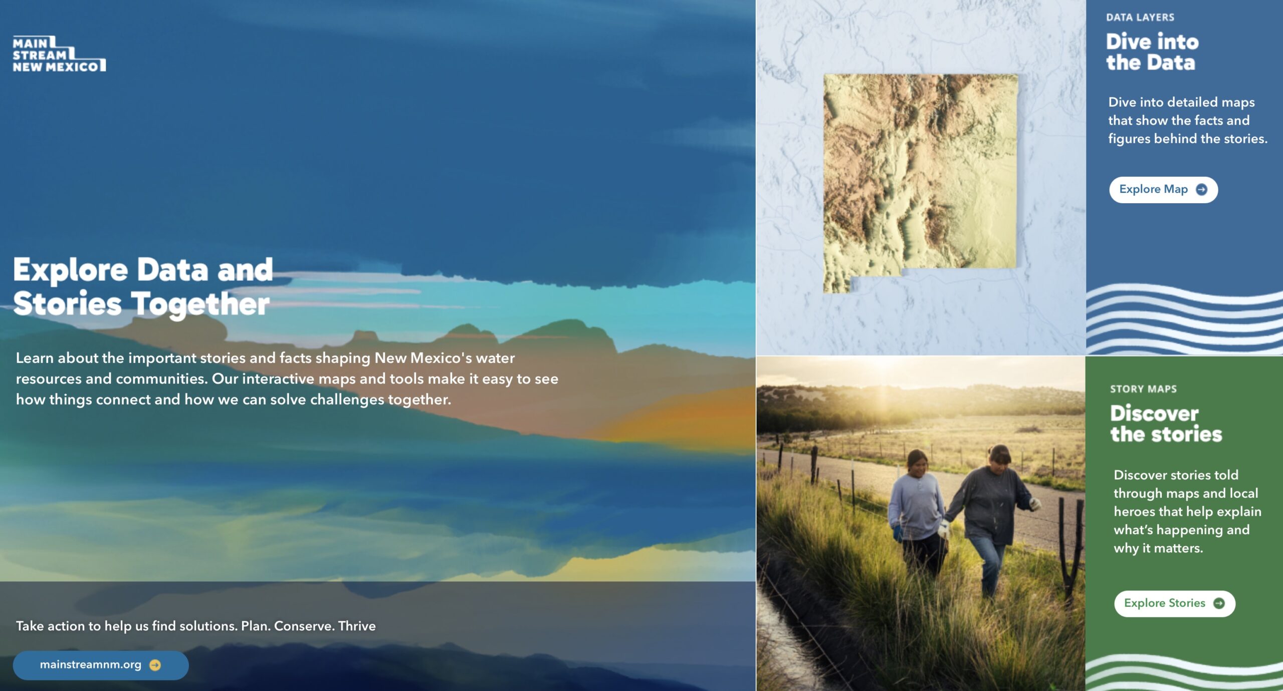
SANTA FE – New Mexico Interstate Stream Commission (NMISC) has launched the Regional Water Planning Mapping Tool, an interactive resource that introduces users to key water data through a visual, user-friendly format.

The tool integrates multiple trusted datasets to support informed water planning across the state. NMISC invites the public to explore and customize their experience at storymap.mainstreamnm.org.
Created in partnership with RS21, the Regional Water Mapping Tool combines Census population data, New Mexico Water Data Act datasets, and Water Use by Categories reports from both 2015 and 2020, among other data sets. This “choose your own adventure” approach allows users to explore water availability, usage, and trends throughout New Mexico in a way that is engaging and insightful.
“When we’re thinking about water planning, it is really important to understand who is using water and where it is being used,” said Sara Fox, Senior Water Planner at NMISC.

This “easy-button” mapping tool visualizes that interaction, providing important insights about where populations are distributed, how water is being used, and the interface between groundwater and surface water across regions. Now, users can find information relevant to their own neighborhoods in one easy map. For example, a farmer in Chama can find their farm, and toggle on and off information related to water and their farms.
For more information and to sign up to the monthly newsletter, please visit MainStreamNM.org.