
Federal forecasters report that more than 100 cities across the country tied or broke temperature records between March 17–21, as a persistent heat dome pushed temperatures 20 to 25 degrees above normal across much of the West and Plains.
By Levi Gwaltney
Source: USDA Natural Resources Conservation Services
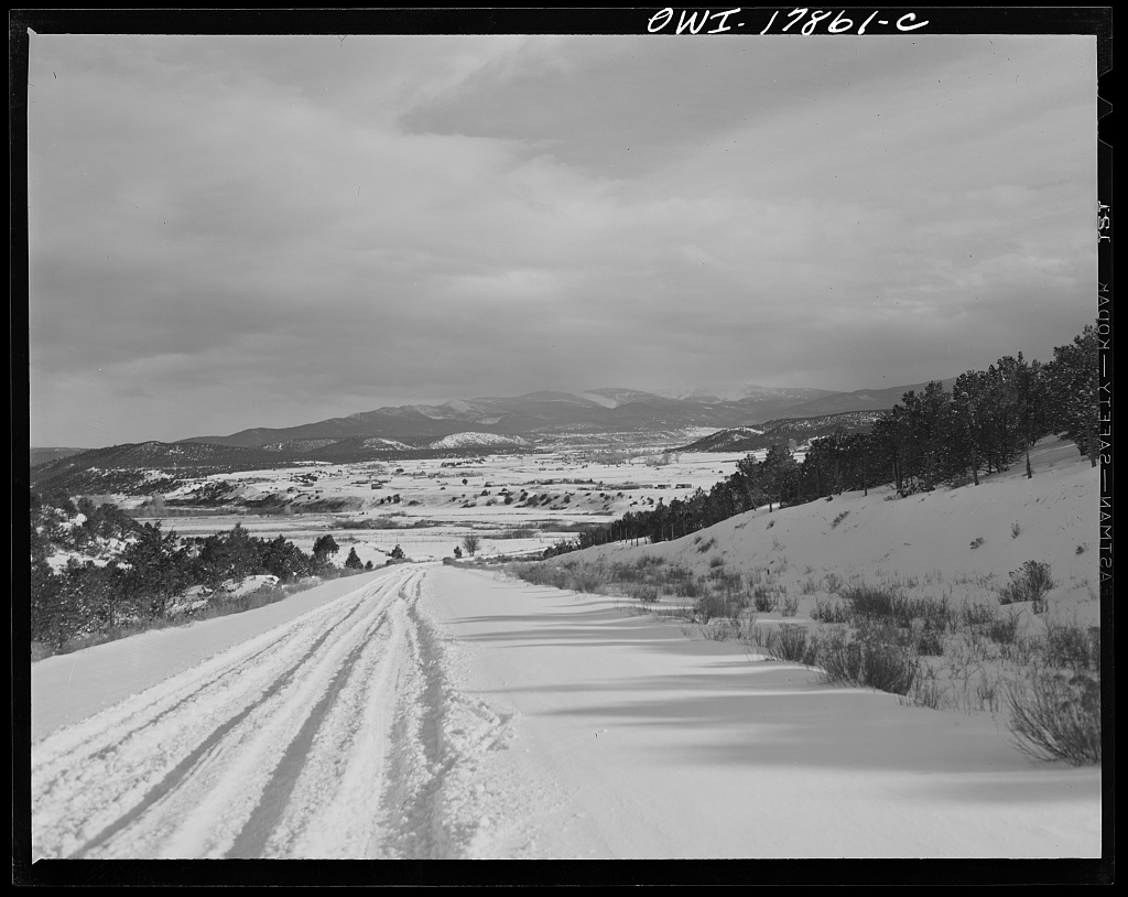
Photo of Sangre de Cristo Mountains by John Collier, Jr. for U.S. Farm Security Administration
Images: Courtesy
The U.S. Seasonal Drought Outlook map recently released by the National Oceanic and Atmospheric Administration (NOAA) depicts drought conditions that are expected to expand to new areas this spring. The report coincided with a record-setting heat wave that settled over the western U.S. in mid-March and is expected to bring record warmth to the South and Plains through at least the end of the week.
A stretch of record-setting March heat across the western United States is accelerating drought conditions, with southern New Mexico—including our broader community—firmly in the affected region, according to newly released federal outlooks.
The U.S. Seasonal Drought Outlook from the National Oceanic and Atmospheric Administration (NOAA) indicates that drought is expected to expand into new areas this spring, following an unusually warm and dry late winter.

Heat Wave Accelerates Dry Conditions
Federal forecasters report that more than 100 cities across the country tied or broke temperature records between March 17–21, as a persistent heat dome pushed temperatures 20 to 25 degrees above normal across much of the West and Plains.
That heat has had a compounding effect in the Southwest:
- Snowpack peaked early—or failed to develop altogether in some areas
- Rapid snowmelt is occurring weeks to months ahead of schedule
- Soil moisture is declining faster than normal
The result is an early-season setup that typically does not emerge until late spring or early summer.
Receive the latest stories in your inbox every day — FREE!
New Mexico Seeing Drought Expansion
According to the National Drought Mitigation Center’s March 24 summary, drought conditions are worsening across parts of New Mexico, including areas already experiencing prolonged dryness.
The report notes:
- Severe drought (D2) has expanded across portions of the state
- Abnormally dry conditions (D0) continue to spread
- The combination of high temperatures, low precipitation, and declining streamflow is driving degradation
Northwest New Mexico has already seen extreme drought (D3) expand, while broader regional conditions suggest continued stress on water resources.
Why Snowpack Matters Locally
Even though Las Cruces sits in the desert, regional snowpack plays a critical role in water supply throughout southern New Mexico.
Mountain snow acts as a natural reservoir, slowly releasing water into rivers, aquifers, and irrigation systems. When snowpack:
- Builds poorly, or
- Melts too quickly,
it reduces the sustained water availability needed later in the year.
This year, officials say some locations across the West saw little to no snowpack development, while others are experiencing historically early melt-off.

A Volatile National Pattern
While the Southwest trends drier, other parts of the country are seeing the opposite.
The same national report highlights:
- Flooding rains in the Pacific Northwest
- Late-season blizzards in the Upper Midwest
- Historic rainfall and landslides in Hawaii
These extremes reflect what forecasters describe as a highly volatile spring weather pattern, with sharp contrasts between regions.
What It Means Moving Forward
For southern New Mexico, the outlook suggests:
- Increased drought pressure heading into spring and summer
- Greater evaporation rates due to heat
- Potential impacts to agriculture, water supply, and wildfire risk
With March already trending as one of the warmest on record, the early-season signals are aligning toward a drier-than-normal trajectory for the months ahead.
You must be logged in to post a comment.