
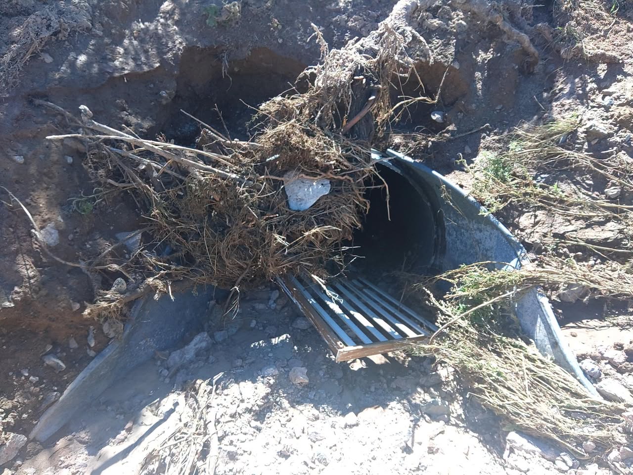

County Roads personnel began clearing debris from drainage infrastructure Monday in an effort to keep runoff moving and reduce the potential for flooding once the rain begins.
Source: Doña Ana County Government Center (via Facebook)
Photos: Courtesy
Doña Ana County road crews are clearing culverts and drainage areas ahead of a period of potentially heavy rainfall expected to begin Tuesday afternoon.
The National Weather Service has placed all of south-central and southwestern New Mexico under a Flood Watch from Tuesday afternoon through Wednesday evening, including Las Cruces and communities throughout Doña Ana County.
County Roads personnel began clearing debris from drainage infrastructure Monday in an effort to keep runoff moving and reduce the potential for flooding once the rain begins.

The Weather Service expects several rounds of thunderstorms as an early-season cool front interacts with a late-season plume of deep tropical moisture.
Those storms could produce torrential downpours, with the possibility that thunderstorms repeatedly develop or move across the same areas. The Weather Service said that could result in higher rainfall totals in isolated locations.
The period of greatest concern is expected from Tuesday night into Wednesday morning.

Excessive runoff could flood streets, low-water crossings, arroyos and other low-lying or poorly drained areas. Creeks and streams could also rise out of their banks.
The Flood Watch extends across a large portion of southern New Mexico, but the Weather Service said the greatest concern stretches from areas near and east of the Continental Divide through the Tularosa Basin and Sacramento Mountains.
Doña Ana County is asking residents to monitor weather and emergency alerts as conditions develop and to avoid flooded roads and standing or moving floodwater.
A Flood Watch means conditions could produce flooding; it does not mean flooding is occurring throughout the watch area. The Weather Service said additional Flood Warnings may be issued if conditions warrant.
You must be logged in to post a comment.